| Author |
Title |
Year |
Price |
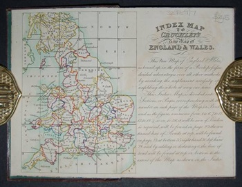
MAP. CRUCHLEY (G. F.)
|
Cruchley's Improved Geographical Companion Throughout England & Wales Including Part of Scotland.
|
1830 |
£245.00 |
MAPS.
|
The Art of the Map-Maker in Essex 1566-1860.
|
1947 |
£10.00 |
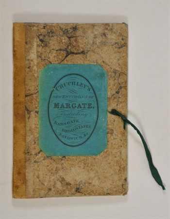
MARGATE.
|
Cruchley's New Environs of Margate, including Ramsgate, Broadstairs, Sandwich, &c.
|
1823 |
£85.00 |
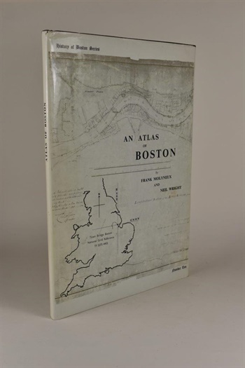
MOLYNEUX (Frank) & WRIGHT (Neil)
|
An Atlas of Boston. History of Boston Series—Number Ten.
|
1974 |
£40.00 |
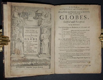
MOXON (Joseph)
|
A Tutor to Astronomie and Geographie. Or an easie and speedy way to know the use of both the globes, coelestial and terrestrial. In six books. The first teaching the rudiments of astronomie and geographie. The shewing by the globe; the solution of 2. Astronomical and geographical prob. 3. Problemes in navigation. 4. Astrological problemes. 5. Gnomonical problemes. 6. Trigonometrical problemes. More fully and amply than hath yet been set forth either by Gemma Frisius, Metius, Hues, Wright, Blæw, or any others that have taught the use of the globes; and that so plainly and methodically that the meanest capacity may at first reading apprehend it, and with a little practice grow expert in these divine sciences. With an appendix shewing the use of the Ptolomaick sphere. The second edition, corrected and enlarged. By Joseph Moxon, hydrographer to the Kings most Excellent Majesty. Whereunto is added the antient poetical stories of the stars shewing reasons why the several shapes and forms are pictured on the coelestial globe. As also a discourse of the antiquity, progress and augmentation of astronomie.
|
1670 |
£695.00 |
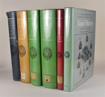
NATIONAL MARITIME MUSEUM.
|
Catalogue of the Library.
|
1968 |
£120.00 |
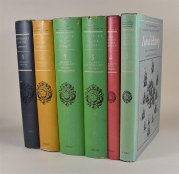
NATIONAL MARITIME MUSEUM.
|
Catalogue of the Library.
|
1968 |
£165.00 |
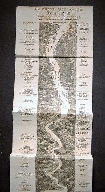
PANORAMIC MAP OF THE RHINE.
|
Panoramic Map of the Rhine, from Cologne to Mayence. Engraved to accompany Tomblesons Views.
|
1830 |
£50.00 |
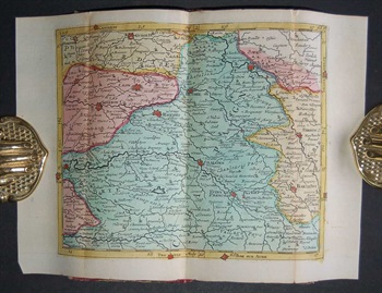
POCKET-ATLAS - FRANCE.
|
Atlas portatif qui contient le roiaume de France avec le pais conquis ses frontieres, meres, & rivieres. Le tout en une carte generale avec 21 petites cartes... / Sak atlas van het geheel koninkryk Vrankryk, en desselfs geconquesteerde en aangrensende landschappen, zeen en rivieren...
|
1743 |
£795.00 |
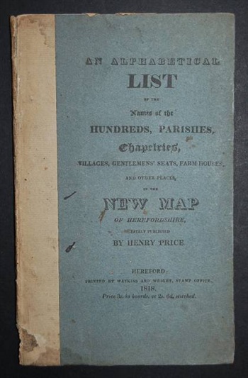
PRICE (Henry)
|
An Alphabetical List of the Names of the Hundreds, Parishes, Chapelries, Villages, Gentlemens' Seats, Farm Houses, And other Places in the New Map of Herefordshire, Lately Published by Henry Price.
|
1818 |
£225.00 |
PUISSANT (Louis)
|
Traite de Géodésie, ou Exposition des Méthodes Trigonométriques et Astronomiques, Applicables a la mesure de la terre, et a la construction du canevas des cartes topographiques.
|
1842 |
£145.00 |
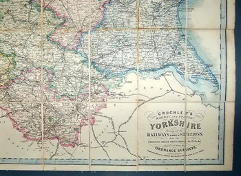
RAILWAY MAP.
|
Cruchley's Railway and Station Map of Yorkshire, Showing all the Railways & Names of Stations, also the Turnpike Roads, Gentlemen's Seats, &c. &c. Improved from the Ordnance Surveys.
|
1869 |
£185.00 |
ROGER (Elizabeth M.) Compiler.
|
The Large Scale County Maps of the British Isles 1596-1850: A Union List.
|
1972 |
£15.00 |
ROYAL SCOTTISH GEOGRAPHICAL SOCIETY.
|
The Early Maps of Scotland to 1850. Revised and Enlarged with A History of Scottish Maps by D. G. Moir.
|
1973 |
£40.00 |
SAN FILIPPO (Pietro Amat di)
|
Bibliografia dei Viaggiatori Italiani colla Bibliografia delle loro opere. [With:] UZIELLI (G.) & SAN FILIPPON (Pietro Amat di) Mappamondi, Carte Nautiche, Portolani ed altri Monumenti Cartografice Specialmente Italiani dei Scoli XIII-XVII.
|
1882 |
£90.00 |
SIDER (Sandra) ANDREASIAN (Anita) & CODDING (Mitchell)
|
Maps, Charts, Globes: Five Centuries of Exploration. A New Edition of E. L. Stevenson's Portolan Charts and Catalogue of the 1992 Exhibition.
|
1992 |
£25.00 |
SKELTON (R.A.)
|
County Atlases of the British Isles 1579-1850: A Bibliography. 1579-1703.
|
1970 |
£16.00 |
SKELTON (R.A.) Compiler.
|
County Atlases of the British Isles 1579-1850: A Bibliography. 1579-1703.
|
1970 |
£20.00 |
STREETER (Frank S.)
|
The Frank S. Streeter Library. Important Navigation, Pacific Voyages, Cartography, Science.
|
2007 |
£60.00 |
SWIFT (Michael) & KONSTAM (Angus)
|
Cities of the Renaissance World: Maps from Civitates Orbis Terrarum.
|
2008 |
£50.00 |
THOMAS (Charles E.)
|
Catalogue of the Very Choice and Important Collection of Works on Cartography, Shipbuilding and Navigation, Voyages and Travels, Early Maps and Atlases, Etc.
|
1939 |
£23.00 |
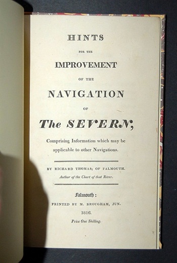
THOMAS (Richard)
|
Hints for the Improvement of the Navigation of The Severn; Comprising Information which may be applicable to other Navigations.
|
1816 |
£295.00 |
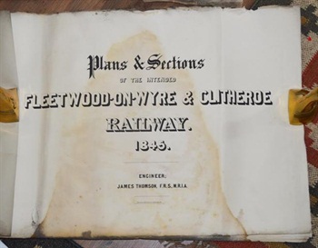
THOMPSON (John) Engineer.
|
Plans & Sections of the Fleetwood-on-Wyre & Clitheroe Railway 1845.
|
1845 |
£110.00 |
TOOLEY (R.V.)
|
Maps and Map-Makers.
|
1970 |
£10.00 |
TOOLEY (R.V.)
|
Maps and Map-Makers.
|
1970 |
£10.00 |