Book Details
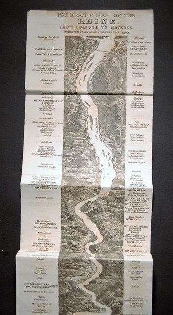
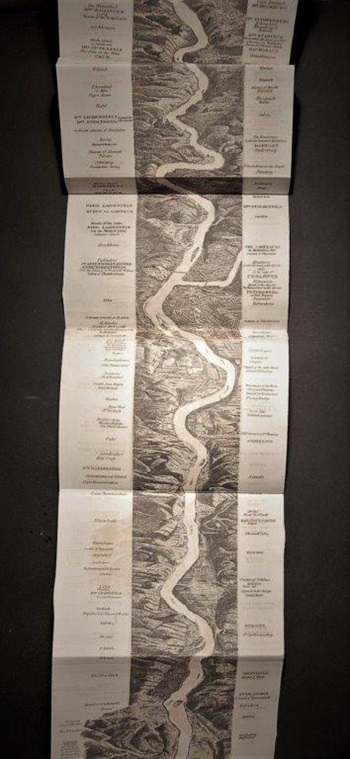
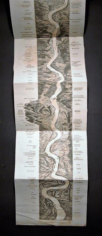
PANORAMIC MAP OF THE RHINE.. Panoramic Map of the Rhine, from Cologne to Mayence. Engraved to accompany Tomblesons Views.1830
[London:] W. Tombleson & Company, Lithographed vertical panoramic strip measuring 1260 x 163 mm, single sheet printed on one side only (folded), some light offsetting. A strip-view of the river Rhine from Cologne to Mayence, with marginal notes of places of importance en route.
Stock #40082


