Book Details
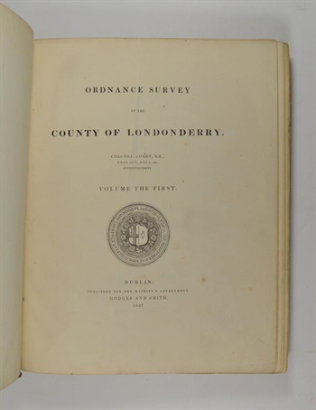
COLBY (Colonel T. F.). Ordnance Survey of the County of Londonderry. Volume the First [all published].1837
Dublin: Published for Her Majesty's Government. Hodges and Smith, First edition, 4to, 9, [3], 336, [2], 16pp., hand-coloured geological map of the Parish of Templemore, folding plan of the City of Londonderry (foxed), 8 other plans, 1 view, 7 natural history plates (2 hand-coloured), illustrations in the text, original embossed cloth, hinges shaken.
Stock #30743