Book Details
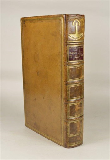
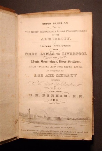
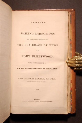
DENHAM (Commander Henry Mangles). Sailing Directions from Point Lynas to Liverpool with Charts, Coast-views, River-Sections, Tidal Courses and Gauge Table, for Navigating the Dee and Mersey. [Bound with:] Remarks and Sailing Directions for Approaching and Navigating the Sea-Reach of Wyre up to Port Fleetwood, with some Account of Wyre Lighthouses & Estuary. By Commander H. W. Denham.1840
Liverpool: Printed & Published as the Act Directs for H. M. Denham, by J. & J. Mawdsley, First edition, 8vo, two parts in one, [2], xx, [2], 169, [1]; 26pp., engraved title page, 25 engravings and large folding maps (some coloured), all mounted on linen and hence in very good condition, marbled endpapers, contemporary smooth calf, a little rubbed, spine compartments ruled in gilt, second compartment with red leather label lettered in gilt, first compartment with the 'Northern Light Board' motif stamped in gilt.
Stock #40769


