Book Details
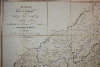
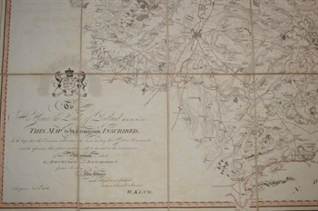
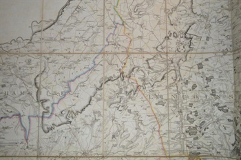
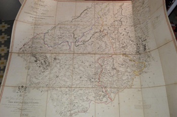
KING (William). A Map of a Tract of Country Surrounding Belvoir Castle; Including Extensive Districts of the Counties of Leicester, Lincoln & Nottingham; and the whole of the County of Rutland. Accurately laid down from a Survey taken in the Years 1804.5.&6. by W. King.1806
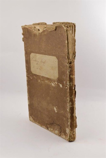
London: Engraved and sold by W. Faden, published Knipton, Nov. 8th, large scale engraved map (1165 x 1440 mm), with contemporary outline colouring, dissected into 32 sections and laid on linen, calligraphic title and dedication and mileage scale, slight browning and faint offsetting, folding into contemporary slipcase which is worn and torn, manuscript label pasted on upper cover "Hunting Map, H. Lowe". The first issue of this rare map of Belvoir Castle and the surrounding area, King issued a corrected edition in 1836 which is of similar rarity.
Stock #38182